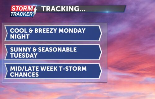
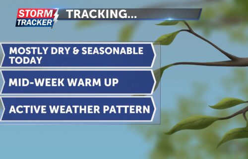
Tracking midweek warmth and scattered t-storm chances
Clear skies and seasonably cool temperatures will make for a quiet Tuesday evening across Northwest Missouri and Northeast Kansas. Northwest breezes at 10 to 15 mph will slack off after sunset, with overnight lows falling into the low to mid 40s after midnight. Breezy conditions and warmer temperatures will arrive Wednesday afternoon, with highs in the low to mid 70s, partly cloudy skies, and southerly winds at 15 to 25 mph. Scattered shower and thunderstorm chances will arrive late Wednesday night, and into parts of Thursday- ranging from 20% to 40% across the area. While overall coverage of thunderstorm activity will likely be limited, a marginal to slight risk of severe thunderstorms exists Wednesday night and Thursday. Cool air is forecast to return for the weekend, with partly cloudy skies and returning rain chances through Easter Sunday.