Winter continues its grip with snow, extreme cold
Rounds of snowfall and extreme cold will make for tough conditions across Northwest Missouri and Northeast Kansas for the next several days.
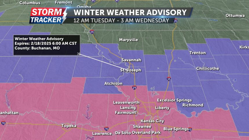
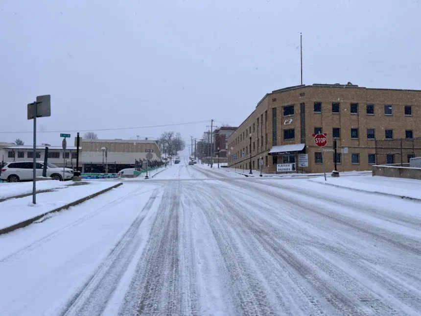
Ongoing periods of snowfall are forecast Monday night into Tuesday, likely bringing an additional 1 to 3 inches of accumulation along and north of the Highway 36 corridor. A Winter Weather Advisory will go into effect for these areas from midnight Tuesday, Feb. 18, to 3 a.m. Wednesday, Feb. 19.
More significant snowfall of 6 inches or more is forecast along and south of the Interstate 70 corridor late tonight and into Tuesday. A Winter Storm Warning has been issued from Platte County southward, including all of the Kansas City metro.
In addition to the snow, an extended period of subzero wind chills will arrive Monday night and continue through Thursday, posing a risk to pets, pipes and people.
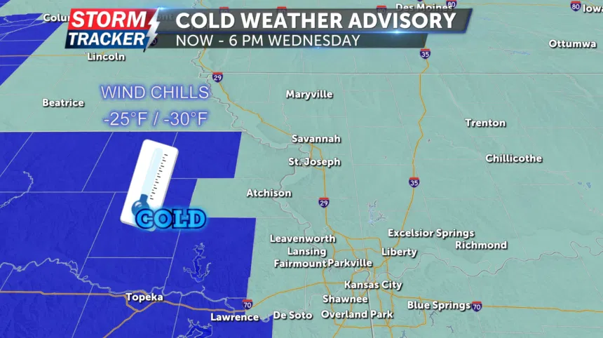
A Cold Weather Advisory will go into effect for all of Northwest Missouri and much of Northeast Kansas from 9 p.m. Monday, Feb. 17, to 6 p.m. Wednesday, Feb. 19. Wind chills as low as 25 to 30 degrees below zero are forecast through the period. Anyone venturing out should dress in layers and cover exposed skin as much as possible.


