Strong storms possible Friday

By Meteorologist Jared Shelton
Strong to severe thunderstorms are increasingly likely Friday across Northwest Missouri and Northeast Kansas as an early summer storm system tracks across the area.
Here’s the latest on what to expect:
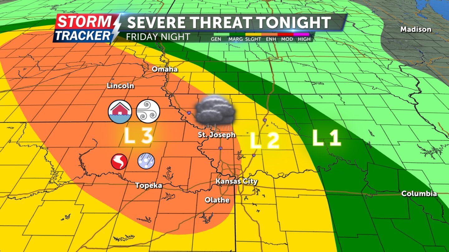
SEVERE THREAT TONIGHT: ENHANCED RISK
TIMING: 9 p.m. Friday to 1 a.m. Saturday
THREAT LEVEL: 3 (of 5)
HAZARDS: Damaging winds, heavy rain, isolated tornadoes, spotty hail
A large complex of thunderstorms is anticipated to develop north and west of the St. Joseph area this evening before tracking south and east across the mid-Missouri River valley between 9 p.m. tonight and 1 a.m. Saturday morning.
Damaging straight-line winds and locally heavy rain will be the primary hazards, with a low-end threat for isolated tornadoes and pockets of sizable hail, especially west of the Missouri River.
Be sure to remain weather aware through the threat period and have a way to receive warnings should they be issued as storms materialize. Tune in to News-Press Now and check back at newspressnow.com for the latest information.


