June marks the start of meteorological summer

By Jared Shelton News-Press NOW meteorologist
Memorial Day weekend has passed and meteorological summer is fast approaching, marked by the first day of June. While astronomical summer is not officially recognized until the estival solstice (aka summer solstice), occurring in the northern hemisphere between June 20 and 21, sultry summer weather tends to develop across the U.S. weeks before the astronomical milestone.
Here in Northwest Missouri, the most obvious trend as summer arrives is the uptick in temperatures. Climatologically speaking, the St. Joseph area gains about 6 degrees from June 1 to June 30, with average high temperatures rising from 81 degrees to 87 degrees through the course of the month. Yes, this is a steady warm-up, but a measly 6 degrees can be misleading for the kind of heat June can actually bring.
Despite average highs remaining fairly tame during the first month of summer, periodic heat waves typically start to plague large swaths of the Midwest and Great Plains as June progresses. Another local climate stat paints more of an accurate portrayal of June heat — the first 95-plus degree day, which falls around June 19 here in St. Joseph, according to 30-year averages at Rosecrans Memorial Airport. Triple-digit heat is also an occasional June occurrence in Northwest Missouri. The last time this took place in St. Joseph was in 2016, when the mercury hit 102 degrees.
The first month of meteorological summer can also be one of the rainiest periods of the year across the Mid-Missouri River Valley. Second only to May, June is considered the second wettest month of the year in St. Joseph, with an average of 4.75 inches of rain. Notably, the infamous floods of 1993 that wreaked havoc along the banks of the mighty Missouri River peaked in late June, after rounds of thunderstorm activity brought the already swollen waterway to a historic crest of 32.07 feet.
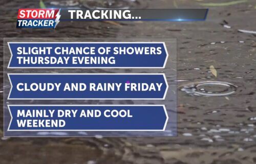
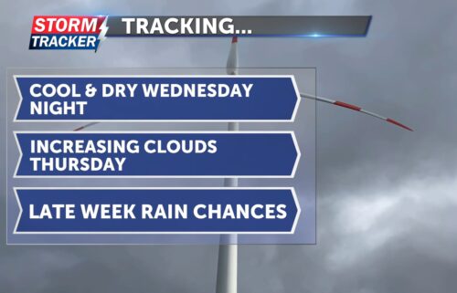
Speaking of rain, most June precipitation comes in the form of thunderstorm activity, which can quickly turn severe. While hail, damaging winds and tornadoes can happen any month of the year, June is one of the busier periods for severe weather across the Midwest and Great Plains. When it comes to tornado season in the Show Me State, June is not as prolific as April or May, but averages about the same number of twisters as March, according to 30-year averages from the Storm Prediction Center. Severe weather is not in the forecast for the first few days of June here in Northwest Missouri, but garden variety showers and storms are looking to stick around with a relatively active pattern in place for the next week.


