Scattered severe threat developing today

By Meteorologist Jared Shelton
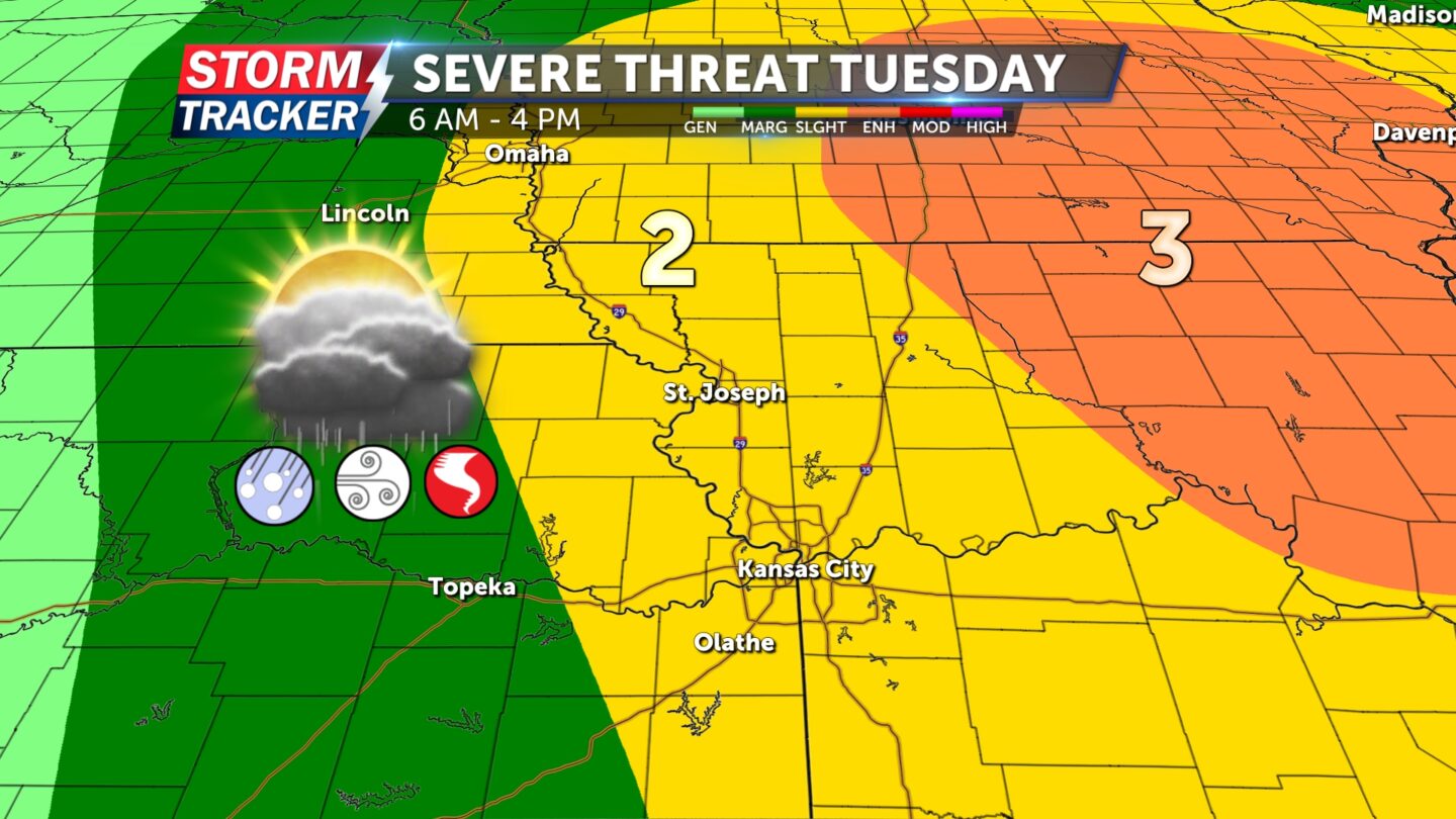
A potent spring storm system will be passing through NW Missouri and NE Kansas today, bringing the potential for scattered strong to severe thunderstorms.
Here’s the latest on what to expect:
HAZARDS: Sizable hail, damaging winds, isolated tornadoes.
TIMING: 6 a.m. to 4 p.m. Tuesday
THREAT LEVEL: 2 (of 5)
The first round of storms is expected to enter Northwest Missouri around day break, with multiple rounds of scattered thunderstorm activity possible further east throughout the day.
The greatest risk for tornadoes exists east of the I-35 corridor where conditions will be most favorable by Tuesday afternoon. However, a brief tornado cannot be ruled out earlier in the day along the I-29 corridor including the greater St. Joseph area.
Be sure to remain weather aware over the next six to eight hours, and have a way to receive warnings should they be issued.


