Winter weather update
By Meteorologist Jared Shelton
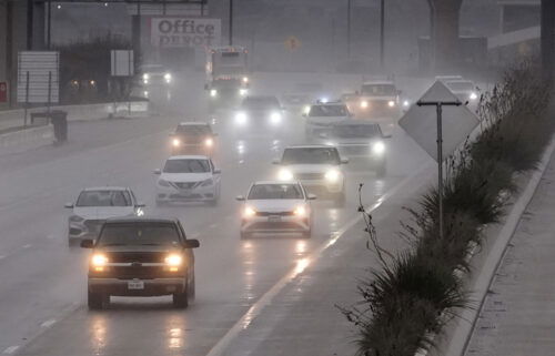
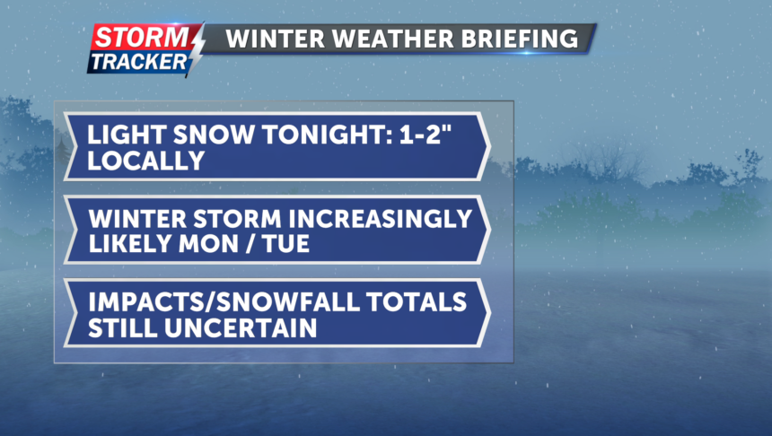
Light to moderate snow is falling across Northwest Missouri and Northeast Kansas this evening, resulting in slippery travel and reduced visibility. Expect snow to taper off after midnight, with 1-2 inch accumulations areawide by Saturday morning.
This weekend will offer a brief reprieve from active weather before a potent winter storm system brings the potential for heavy snow and gusty winds Monday and into Tuesday. While there is still a fair amount of uncertainty regarding the exact track and snowfall potential of the approaching system, the possibility of widespread accumulating snow is becoming more likely. At this point, chilly rain is anticipated early Monday before changing to all snow Monday night, with the potential for blowing snow by Tuesday morning.
Stay tuned for updates as the forecast comes into focus over the coming days.

