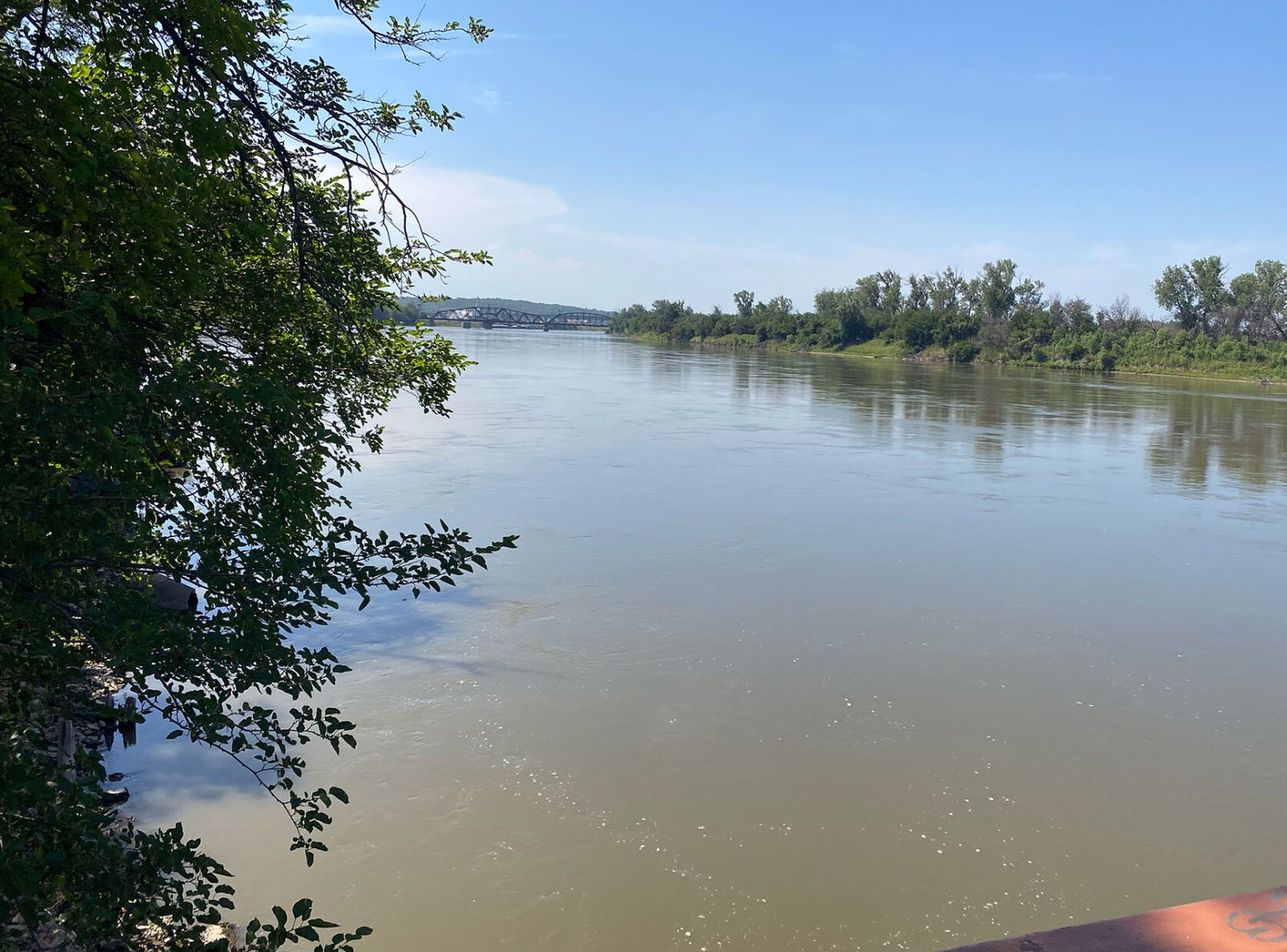
Missouri River running full after recent rainfall

By Jared Shelton News-Press NOW meteorologist
After years of widespread drought and low water levels across large swaths of the Missouri River basin, the longest waterway in the U.S. is once again flowing in abundance. This is especially true for the lower Missouri River Basin, where recent rains have pushed some water to flood stage.
Here in St. Joseph, the mighty Missouri reached minor flood stage earlier this week, cresting at 17.26 feet on Tuesday evening. The brief rise in local levels was primarily due to the soaking rains that drenched parts of the region Monday night, falling on soil that already had seen fair amounts of precipitation over the past three weeks.
While Downtown St. Joseph received just under an inch of rain late Monday, some locations upriver measured four to five inches that came down in a deluge as multiple thunderstorms rolled one after the other from Falls City, Nebraska, to Tarkio, Missouri.
Considering the minor flood stage for the Missouri River starts at 17 feet here in St. Joseph, the recent high point of 17.26 feet was just enough to fill its banks without causing any real impact or issues. With that being said, the muddy currents were a sight for sore eyes, as minor flooding has only taken place three times in the past five years, the last back in July of 2021 when waters rose to just over 17 feet for less than a day.
In many ways, the swelling of the Missouri River is a return to normalcy, as spring floods are fairly typical for this part of the country. According to Scott Watson, lead hydrologist at the National Weather Service KC-Pleasant Hill office, historical data suggest the chances of flooding along the river during the latter half of spring are higher than no flooding at all.
“In St Joseph, the historical chance (of local flooding on the Missouri River) from now until mid-July is 78%,” he said.
Water levels on the Missouri River have returned to normal as of this weekend, but with several months to go in the “rainy season,” flooding could still become a problem along its banks. The historical benchmark for major flooding on the Missouri River in St. Joseph is the spring/summer flood of 1993 when excessive snowmelt upriver combined with relentless rainfall well into the summer season proved disastrous.
Watson explains that snowmelt will not be an issue with flooding this season.
“We don’t have any snowmelt that’s going to affect anything, so it’s just going to be based on how many big rain systems we have come through,” he said.
A break from wet weather is forecast to continue across the mid-Missouri Valley through the start of this weekend, but rounds of shower and thunderstorm activity lie ahead for the first half of next week. While copious amounts of rain are not necessarily in the forecast at this point, the recently replenished water table could set the stage for more minor flooding in the coming weeks. It’s nothing new for long-time residents who have lived through countless flood seasons along the mighty Missouri.


