Federal approval clearing way for new Interstate 229 replacement planning
By Cameron Montemayor
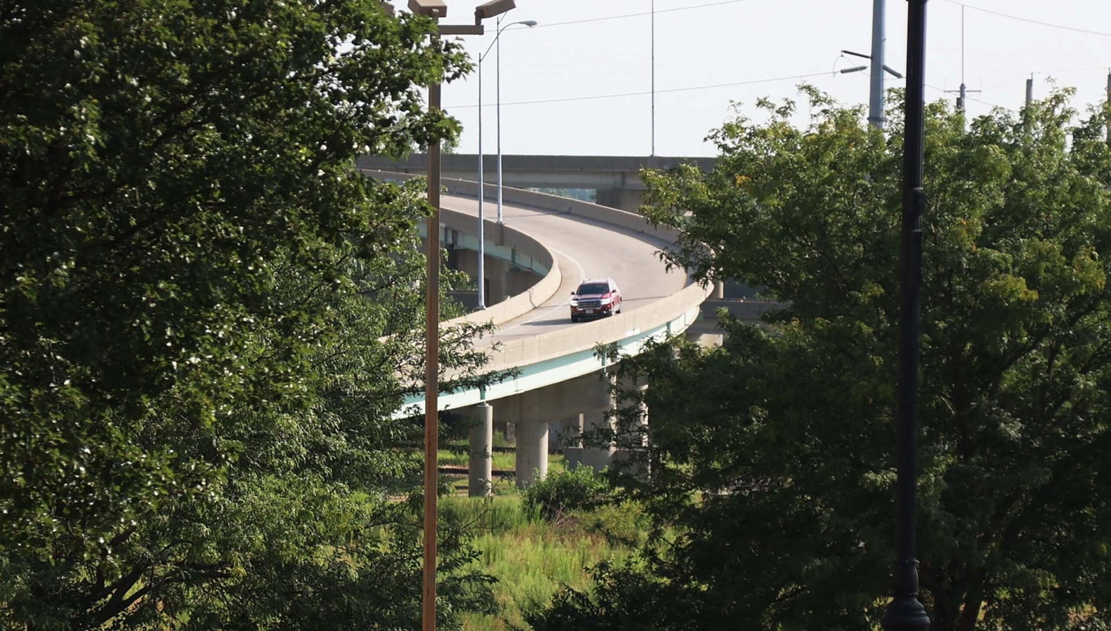
New developments on the future of replacing the Interstate 229 double-decker bridge in St. Joseph are painting a clearer picture for the next steps and vision for the aging structure.
Missouri Department of Transportation and St. Joseph officials have, for some time, had a favored alternative for replacing the double-decker bridge, but the recent approval of an environmental assessment by the Federal Highway Administration in July is now opening the door for the selected plan to move forward.
The now-approved assessment provided a technical evaluation of human and natural environmental impacts to determine if improving or eliminating the bridge would be necessary and what the best corridor in which a new structure and/or roadway would follow.
“It’s a huge step,” said Marty Liles, Missouri Department of Transportation Northwest District Engineer. “Without this step and having that approved by the Federal Highway, we couldn’t do any kind of improvements to that. This is huge development on it.”
The plan, titled Alternative D, includes construction of a new four-lane arterial roadway constructed at-grade — elevated as necessary for compliance with floodplain and stormwater requirements — in nearly the same location as the existing structure between the railroad tracks and the Missouri River.
Access to Downtown will only be provided south at Fourth Street and north at a new interchange at U.S. Route 59 and St. Joseph Avenue. Downtown exit ramps at Francis and Felix streets will have to be demolished.
Plans on the south end for a Fourth Street exit from I-229 are likely to include some combination of a stoplight and ramps to allow northbound travelers to enter Downtown and allow freight and grain vehicles to easily access the Stockyards Expressway, a vital component that was heavily evaluated during the process.
“We do have what we call a proposed slip ramp in there. So as people are coming in, they don’t actually have to stop at that stoplight,” Liles said. “Details as far as the connections there at the south end when we get into the design phase and the planning phase and really getting into the details, that’s when we can really start figuring out how these things are going to look.”
Environmental assessment data estimates that 2,900 trucks per day head north on the Stockyards Expressway out of the Stockyards. Of those trips, the vast majority either head south on I-229 toward Kansas City (35%) or east toward St. Louis on U.S. Route 36 (34%). Conversely, of the 2,200 trucks per day entering the Stockyards, the vast majority are coming from U.S. Route 36 from the east (38%) followed by I-229 from the south (25%) and then from I-229 from the north (15%).
The Recommended Preferred Alternative and environment assessment will be available for public review and a formal public hearing will be held on Thursday, Aug. 15 at the Remington Nature Center, the next major step in the process. The environmental assessment team will then document and address any comments and concerns received.
Subsequently, as part of the I-229 alternatives evaluation process, MoDOT is recommending de-designating I-229 as an interstate highway from its northern terminus at Interstate 29 to its southern terminus at Interstate 29, a distance of 15 miles through St. Joseph. The de-designation request would occur prior to demolition and construction.
Traffic volumes on the I-229 double-decker bridge are some of the lowest interstate volumes in the state and significantly less than other major facilities in St. Joseph.
The double-decker bridge carries approximately 17,000 vehicles per day, according to recently collected traffic volumes, less than half of what I-29 receives (42,200) between Frederick Avenue and U.S. Route 36 alone. By additional comparison, the Belt Highway (south of Frederick Avenue) receives 23,500 vehicles and U.S. Route 36 (between 10th and 22nd streets) receives 25,500 vehicles.
“A lot of concerns that there’s some type of monetary thing that was going to be lost because of that. And so I think that we tried to get people to understand what that really meant, that there wasn’t money that was going to be lost in the communities because of it,” Liles said.
If anyone isn’t able to attend, written comments will be accepted until 10 days after the hearing.
“We’re really excited about having that,” Mayor John Josendale said. “This next public hearing is important. A lot of the information that is already out there. But the fact that that is kind of the next step. We’re actually getting it to move forward again.”
St. Joseph resident Ryan Jolly said he’s one of many of his friends who feels uneasy driving on the bridge and has no issues with the preferred alternative to replace it.
“I think it’s a good idea … it looks like it’s about to fall in anyways, that’s what you hear.,” Jolly said. “A lot of people I know, they’re scared to even ride up on it anyway.”
After the public hearing takes place, the Federal Highway Administration will consider the Recommended Preferred Alternative in the fall and issue a Finding of No Significant Impact or decide if there is a need to develop an Environmental Impact Statement. If the Federal Highway Administration issues a Finding of No Significant Impact, then MoDOT may begin the design process.
“We’re not at the point that we will be turning this around into some type of design process. We’ve still got to look at probably in, you know, fiscal year 27, 28, before we would ever be ready to do some of that, Liles said. “Even if we’re in the 27-28 range, we’ll need to start planning that early on and probably start getting the design team together to start developing the paperwork and the documents.”
Securing funding and grants for the project — which could range between $60 million and $70 million, would be the next step that follows. No official cost figures for the project have been confirmed.
Moving forward, city transportation officials like Deputy Director of Transportation Chance Gallagher are set to explore and apply for project funding immediately now that the environmental assessment has been approved.
“Getting the approval of the EA moves forward for the ability for applying for grants, for funding to be put in place for design,” she said. “We’ll always be on the lookout to help them fund the project and maybe move it up sooner.”
She said approval of the assessment was a long time coming and the result of extensive coordination and discussion between city departments, state agencies, business groups and more.
“It’s been a long journey. We went from 21 different options to now this option, which working with the mayor and Public Works and the MPO (Metropolitan Planning Organization) and MoDOT and all the stakeholders, I think this is going to be the best option. Still has some kinks that need to be worked out.”
Originally constructed between 1976 and 1985, I-229 has been providing high-speed interstate access to Downtown St. Joseph for the past 40 years. The bridge received the equivalent to a C- rating at its April 2021 inspection. Troubles have popped up over time, including when a portion of the pavement buckled due to the summer heat.
MoDOT and the Federal Highway Administration are considering using a design-build process for the replacement project, meaning design and construction services are contracted by a single entity. This differs from the more traditional design–bid–build project approach where the successful contractor provides the best bid for a specific design developed by the design engineer.
“Conventionally we have consultants in-house and we design our bridges,” Liles said. “This might be a little bit different where we actually look at our consultants and our contracting industry to come in and help us identify how to build this thing.”
The preferred alternative includes several downsides listed in the assessment, including limiting Downtown access and impeding potential Riverfront development in the Downtown area adjacent to the bridge.
A key portion of the environmental assessment focused on potential impacts of the project to existing and proposed parks like Riverfront Park and Huston Wyeth Park. MoDOT has been working with the National Parks Service and St. Joseph Parks, Recreation and Civic Facilities to determine appropriate mitigation efforts.
Riverfront development is now expected to focus more heavily on areas north of Downtown.
A Traffic Management Plan will be developed as part of the final design activities to minimize traffic disruptions when construction begins, from scheduling high-impact work for hours of off-peak traffic, installing temporary traffic control devices and possibly enlisting the help of law enforcement for traffic control.
“A very short construction season when it does come through and we’ve got to move fast … we can’t have that pathway down for more than two years for the freight traffic then obviously access to Downtown, making sure city streets aren’t impacted, especially brick ones like Main Street,” Gallagher said.


