Tracking a cool and sunny start
Tracking a cool and sunny start
Continue Reading Tracking a cool and sunny start
Continue Reading
A cool and sunny Sunday afternoon will give way to a frosty night for some as temperatures fall to near freezing across much of Northwest Missouri and Northeast Kansas. Freeze warnings are in effect from 12 AM to 9 AM Monday, cold sensitive vegetation should be protected with scattered to widespread frost possible. Clear skies
Continue Reading
Tracking cold nights and sunny days ahead
Continue Reading
ST. JOSEPH, Mo. (News-Press NOW) — Spring is in full swing as flowers begin blooming, grasses turn greener and pollen makes a comeback. A common saying about spring’s weather is, “April showers bring May flowers.” So far, that holds true, as the first week of April brought multiple rounds of showers and thunderstorms, providing essential
Continue Reading
Showers will linger across Northwest Missouri and Northeast Kansas Friday evening, with a dry-out on tap for the weekend. Temperatures will remain below average through the weekend, with a chance for scattered frost by Sunday morning. Cool, cloudy, and damp conditions continue tonight, with a 60% chance of showers and lows falling into the low
Continue Reading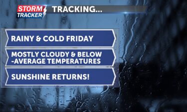
Tracking widespread showers and below-average temperatures
Continue Reading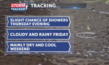
Cool and cloudy conditions will linger across Northwest Missouri and Northeast Kansas Thursday evening, ahead of returning rain chances forecast to develop overnight and continue through much of Friday. Overcast skies and mainly dry conditions this evening will give way to a 40% chance of showers late tonight. Low temperatures will fall into the lower
Continue ReadingTracking cool temperatures and more rain chances
Continue Reading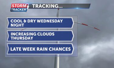
Mild and breezy conditions Wednesday afternoon will give way to clearing skies and light winds late, with overnight lows falling into the low 40s to upper 30s. Clouds will increase through the day Thursday, with a 20% chance of PM showers and afternoon highs in the mid to upper 50s. Widespread rain chances will return
Continue Reading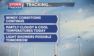
This morning, light to moderate rain has been tracking out of the northeast portions of Kansas and looks like it could clip St. Joseph, bringing some light rain to our area for the next hour or so. Temperatures will be cool, reaching the mid-60s. Some passing clouds are expected today, with a bit more sunshine
Continue Reading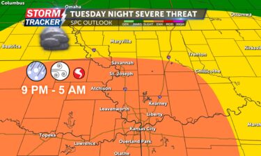
Strong to severe thunderstorms are forecast to develop late tonight across the Mid-Missouri River Valley, and continue through early Wednesday morning. A Severe Thunderstorm Watch has been issued across much of Northeast Kansas and parts of Northwest Missouri through 3 AM Wednesday. NORTHEAST KANSAS COUNTIES: Doniphan, Brown, Atchison, and points west. NORTHWEST MISSOURI COUNTIES: Atchison,
Continue Reading
ST. JOSEPH, Mo. (News-Press NOW) — Thunderstorms are on the horizon now that spring has arrived and severe weather could be trickling in with it. This includes the risk of tornadoes, hail and damaging winds, all of which are possible late Tuesday and early Wednesday morning. In the event of severe weather, it’s important to
Continue Reading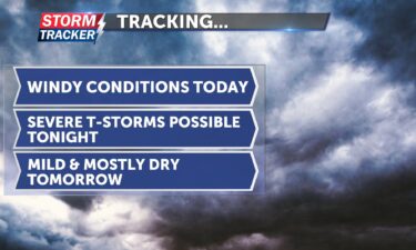
Tracking gusty winds and strong storms tonight
Continue Reading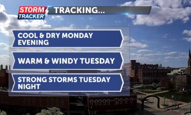
A cool and dry Monday evening will give way to gusty winds and warmer temperatures Tuesday afternoon, ahead of strong to severe thunderstorms forecast to develop Tuesday night. Partly cloudy skies will prevail Monday evening, with light breezes and overnight lows falling into the low to mid 40s. Mostly cloudy skies will return Tuesday along
Continue Reading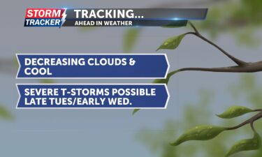
This morning, we start with cloudy skies and cold temperatures. More sunshine will appear this afternoon as clouds decrease. Afternoon highs will be cool, reaching only the mid-50s. Winds will be breezy from the north at 5 to 10 mph. Tomorrow will be warmer but windy. Skies will be cloudy, and winds will be gusty
Continue Reading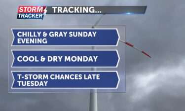
Overcast skies and chilly air will linger across the region Sunday evening and into Sunday night. Low temperatures will fall into the mid to upper 30s late, with northwest breezes at 15 to 25 mph. Cloudy skies early Monday will give way to peaks of sunshine for the afternoon, with highs warming to the mid
Continue Reading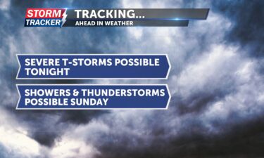
This evening, between 8 p.m. and 10 p.m., there is a chance of isolated to scattered thunderstorms, with the potential for sizable hail and damaging wind gusts. Tonight, temperatures will remain warm for most of the evening before an incoming cold front knocks them down overnight and into tomorrow. Lows tonight will reach the low
Continue Reading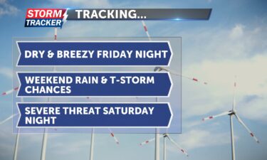
A warm, dry, and windy Friday will give way to rain and thunderstorm chances across Northwest Missouri and Northeast Kansas by Saturday evening. A few storms may be severe through Saturday night before garden variety shower and thunderstorm chances linger on Sunday, with cooler air moving into the region. Clouds will increase Friday night with
Continue Reading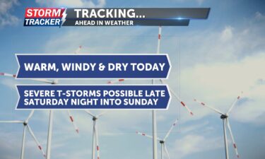
Tracking warm, windy, and dry conditions; thunderstorm chances late Saturday
Continue Reading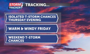
Isolated t-storm chances will linger Thursday evening, with otherwise partly sunny and warm conditions. Any storms that develop late Thursday could produce hail and damaging winds, although coverage of thunderstorm activity will be limited, with 20% to 30% chances across Northwest Missouri and Northeast Kansas through midnight. Mild, dry, and breezy conditions will prevail into
Continue Reading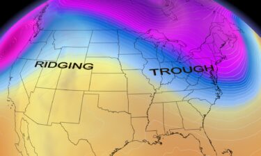
ST. JOSEPH, Mo. (News-Press NOW) — As meteorologists, we sometimes use complex terminology to describe weather patterns. “Ridges” and “troughs” are among these terms, but what do they mean? When analyzing data and model trends, meteorologists look for ridges and troughs in the upper levels of the atmosphere to help determine what weather can be
Continue Reading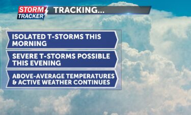
This morning, there is a slight chance of isolated, low-end thunderstorms. Afternoon highs will push into the upper 70s and could even reach the low 80s. It will be toasty and breezy today, with south winds sustaining between 10 and 15 mph. Later this afternoon, there is a chance of more isolated thunderstorms, which could
Continue Reading
Warming temperatures and chances for scattered showers and thunderstorms will return for the second half of the work week. A few storms could be on the stronger side early Thursday morning and late Thursday evening, with hail being the primary hazard. Partly cloudy skies and low 60s late Wednesday afternoon will give way to cooler
Continue Reading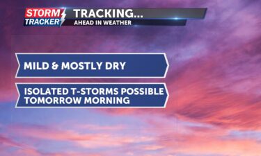
Tracking mild and mostly dry skies today: isolated thunderstorms possible tomorrow
Continue Reading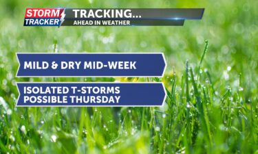
Tracking mild and dry mid-week: Thursday brings chances for thunderstorms
Continue ReadingTracking a warm and windy day
Continue Reading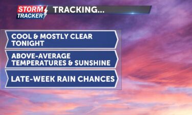
Tracking above-average temperatures and dry skies early this week
Continue Reading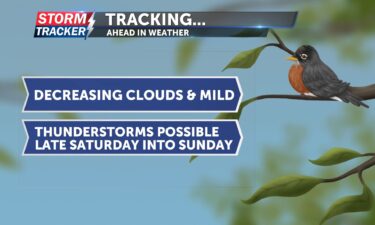
Tracking mild and dry conditions: thunderstorms possible on Saturday
Continue Reading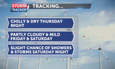
A cool and clear Thursday will give way to a mild and dry Friday, despite increasing cloud cover as a weak disturbance passes through the region. Skies will become partly cloudy late tonight, with lows falling into the upper 30s to low 40s and southerly breezes at 15 to 20 mph. Partly to mostly cloudy
Continue Reading
ST. JOSEPH, Mo. (News-Press NOW) — It’s official — we’ve made it to spring. The first day of the season officially arrived with the spring equinox on March 20, renewing hopes for warmer days, blooming flowers and vibrant green grass. Most are eager to get outside after a tough winter that included approximately 25 inches
Continue Reading