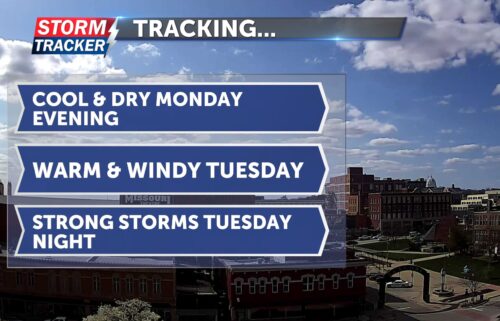
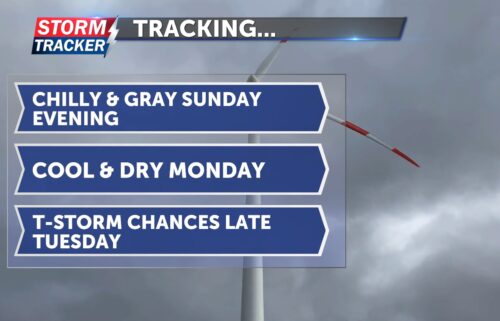
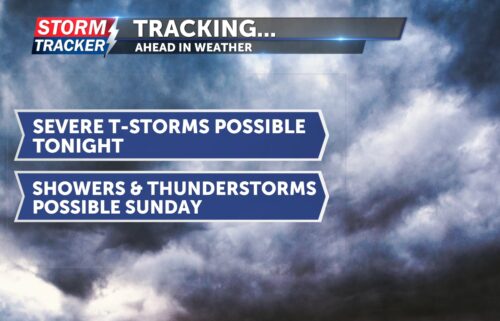
Tracking strong storms, gusty winds, high fire danger
A strong low pressure system will bring the threat for scattered strong storms, gusty winds, and high fire danger through Friday afternoon and early evening.
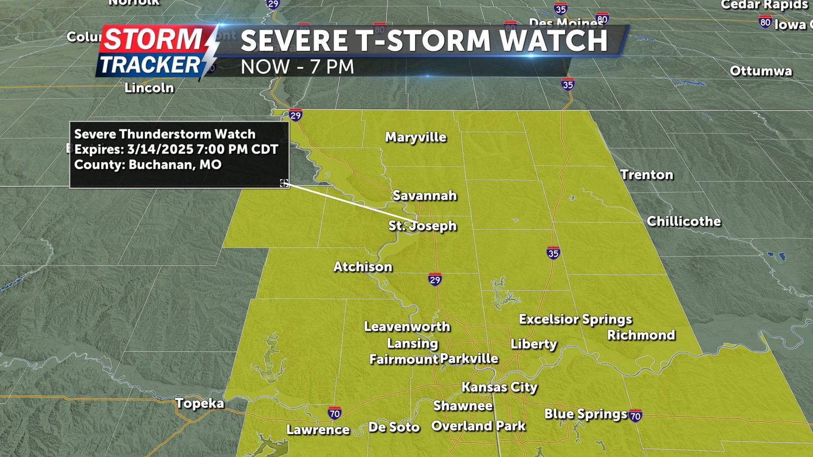
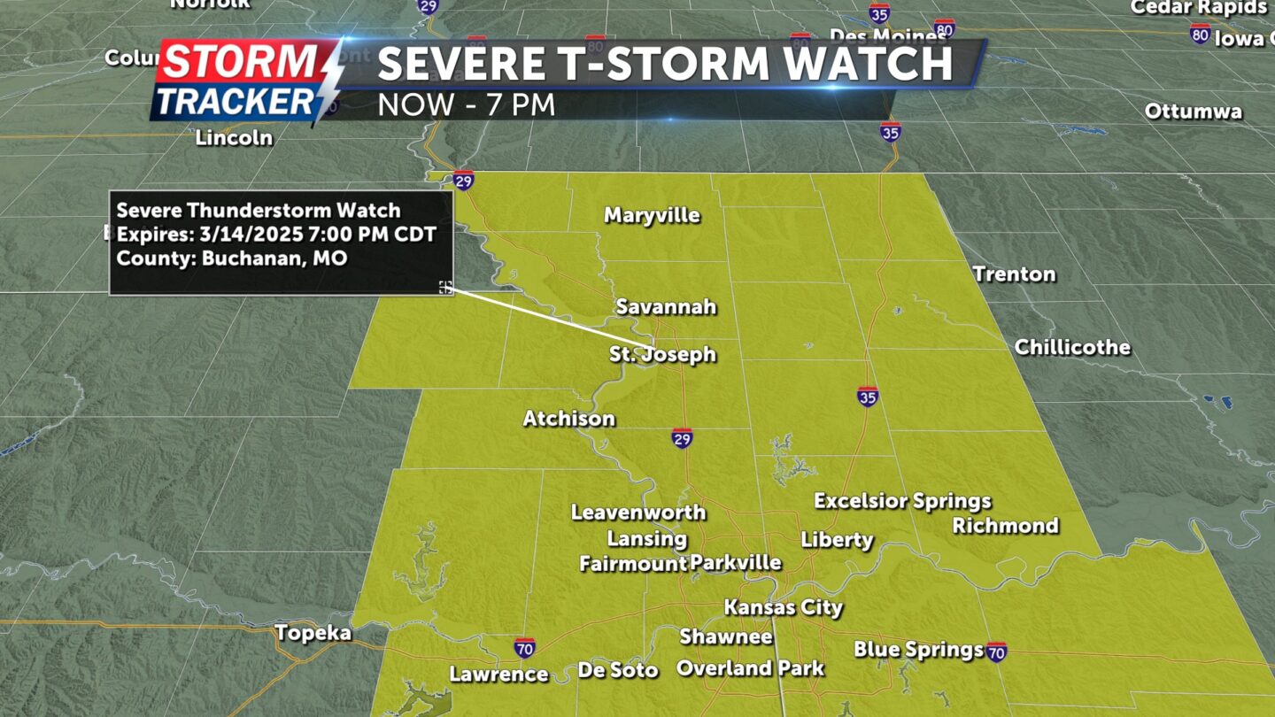
A Severe Thunderstorm Watch has been issued for all of Northwest Missouri and parts of Northeast Kansas through 7 p.m. Friday, March 14.
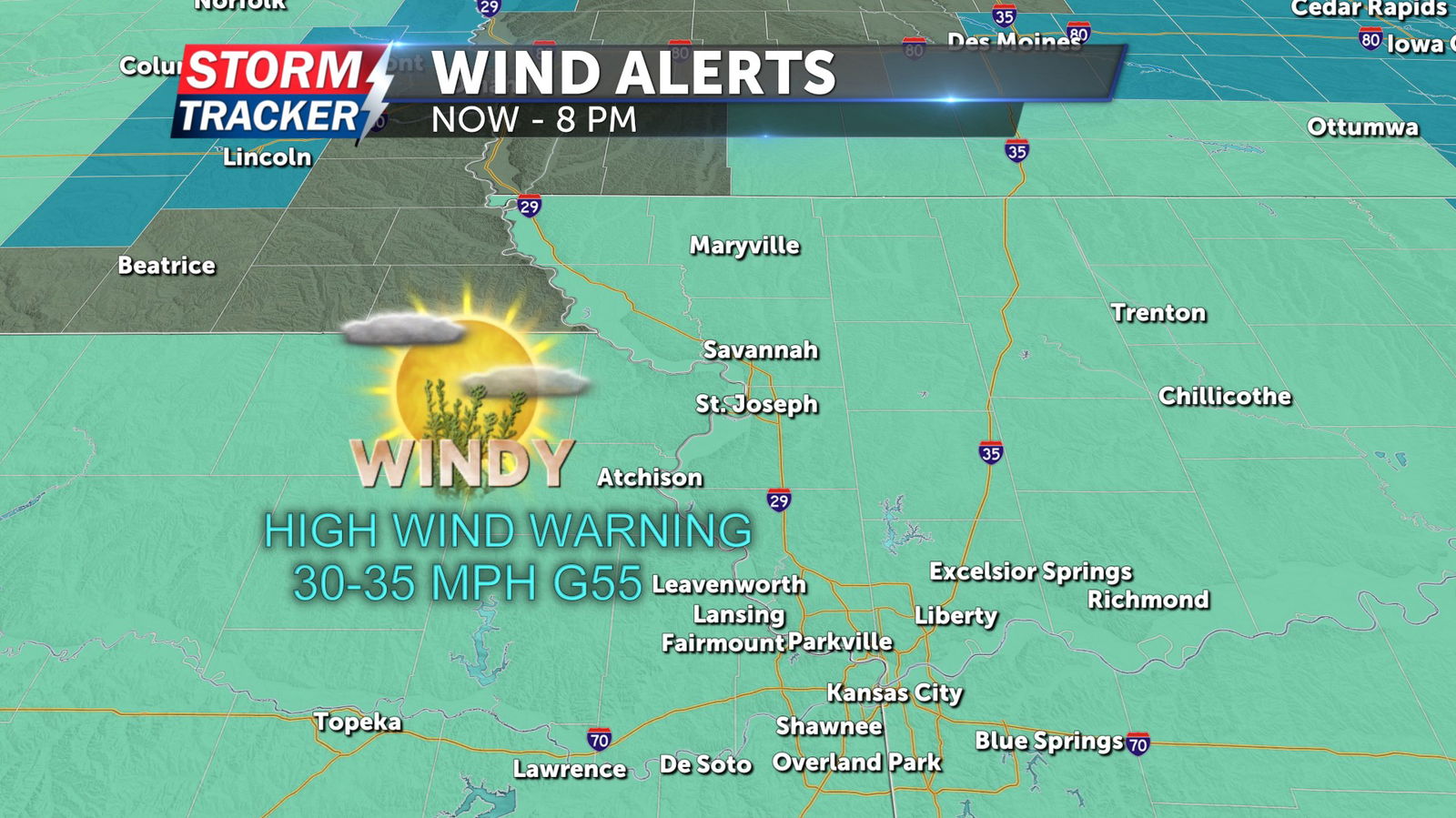
A High Wind Warning will be in effect for counties along and south of the Highway 36 corridor from noon to 10 p.m. Friday. Sustained winds of 30 to 35 mph are forecast during this period, with gusts of up to 55 mph or more. A wind advisory will be in effect for counties north of Highway 36, where gusts could reach 55 mph and sustained winds will range from 25 to 30 mph.
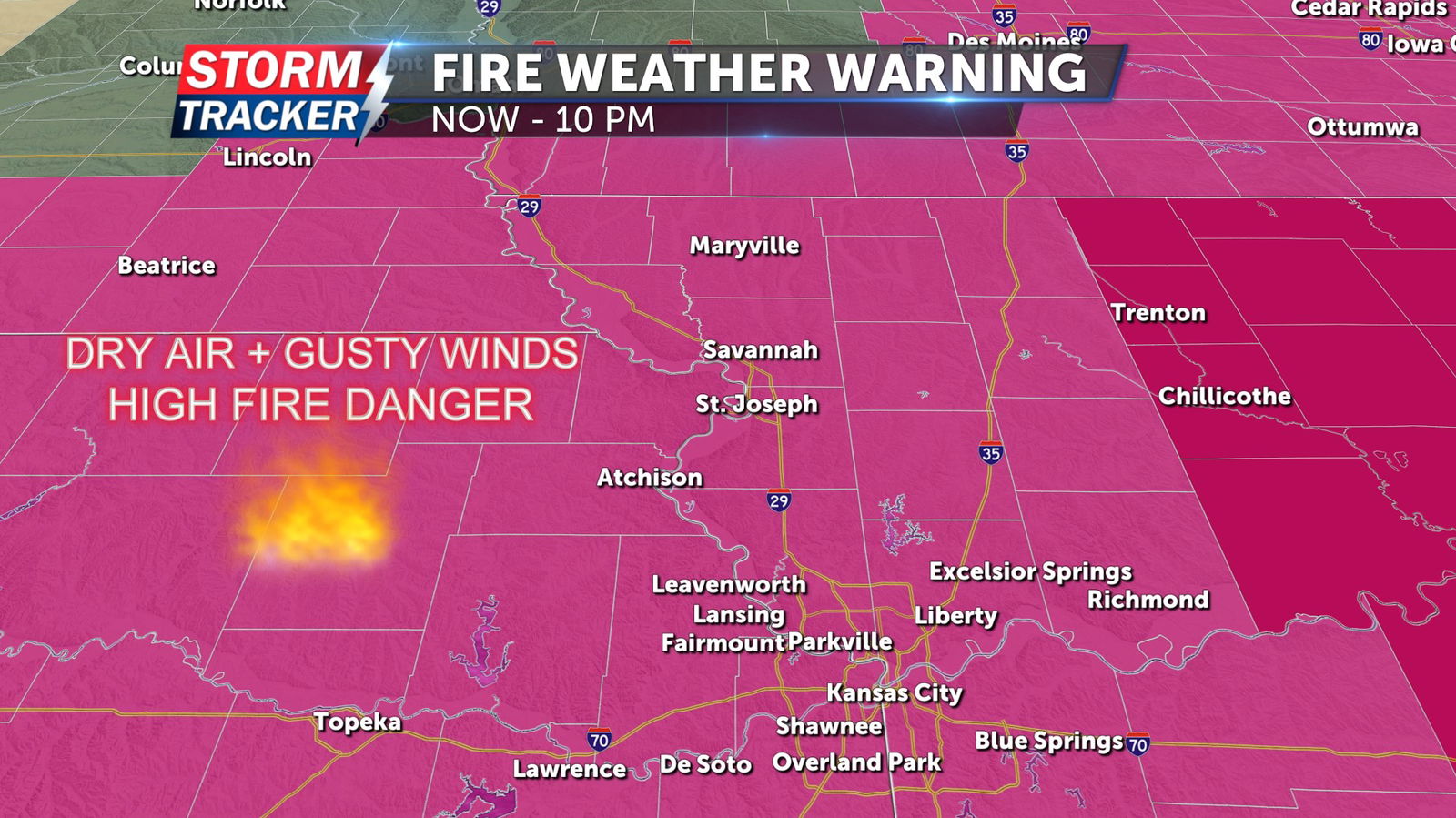
A Red Flag Warning has been issued for all of Northwest Missouri and Northeast Kansas from 11 a.m. to 10 p.m. Low relative humidity, gusty winds and dry fuels will lead to critical fire weather conditions. Outdoor burning of any kind is discouraged, as fires could rapidly spread out of control.