Tracking spotty late-week rain/snow chances
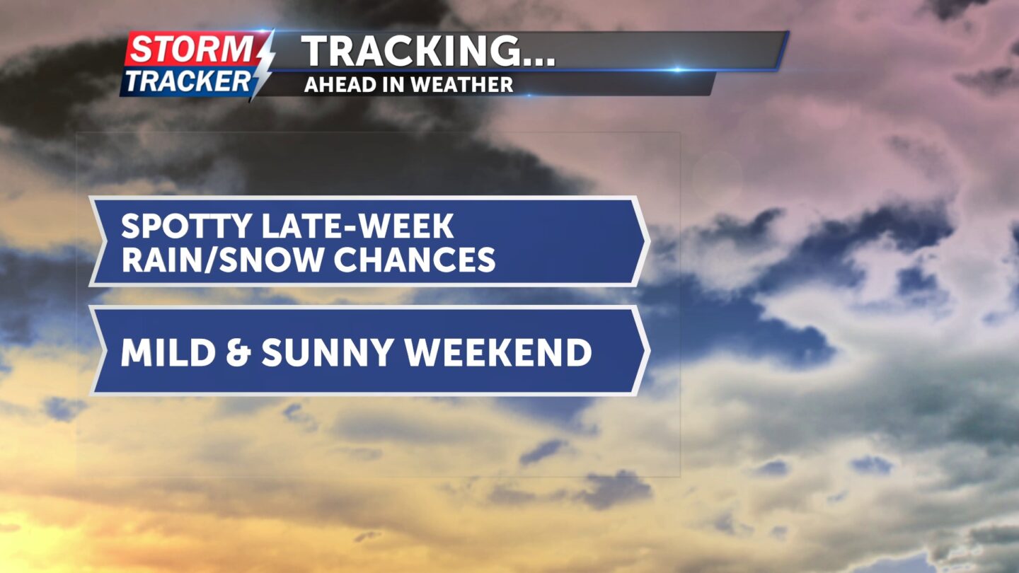
Spotty light rain and snow chances will linger to finish out the work week, before sunshine and warmer temperatures make a welcome comeback this weekend.

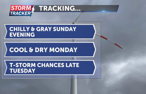
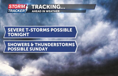
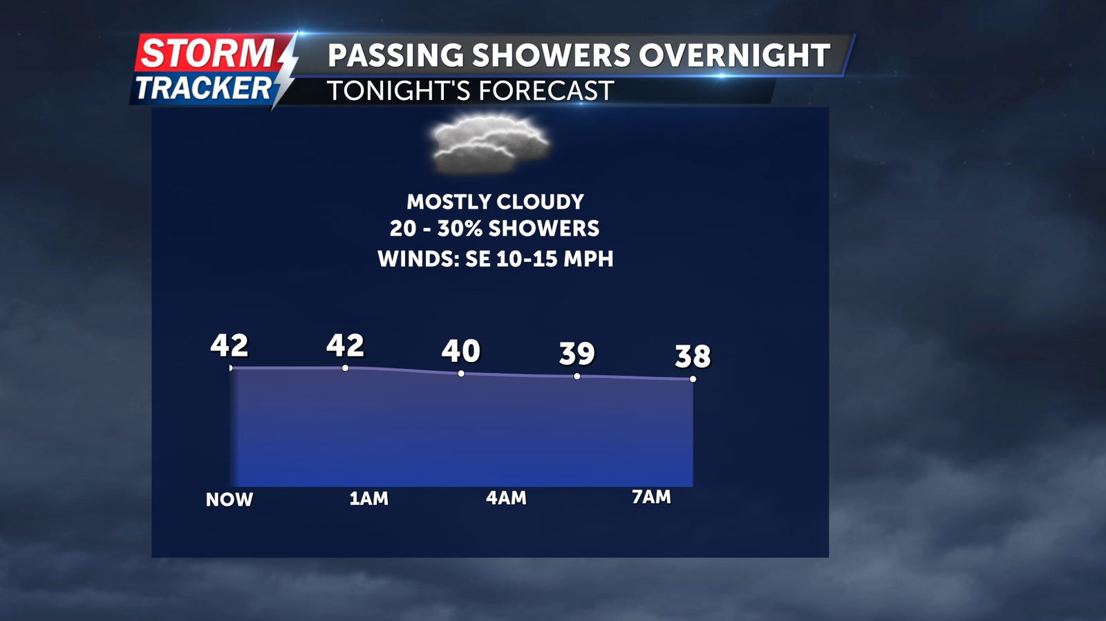
Cloudy skies will remain tonight, with a 30% chance of light showers and southeasterly winds at 10 to 15 mph. Overnight lows will fall in the mid to upper 30s late.
Mostly sunny skies and chilly temperatures will kick-off Friday, with afternoon highs warming into the upper 40s. Clouds will return Friday afternoon, followed by a 30% chance of rain and snow showers through the evening. Westerly winds early Friday afternoon will turn out of the north by the evening, gusting up to 25 mph. Temperatures late Friday night will fall into the upper 20s with clearing skies.
Sunshine will prevail for the weekend, with high temperatures rising from the low 50s on Saturday to the low 60s by Sunday.
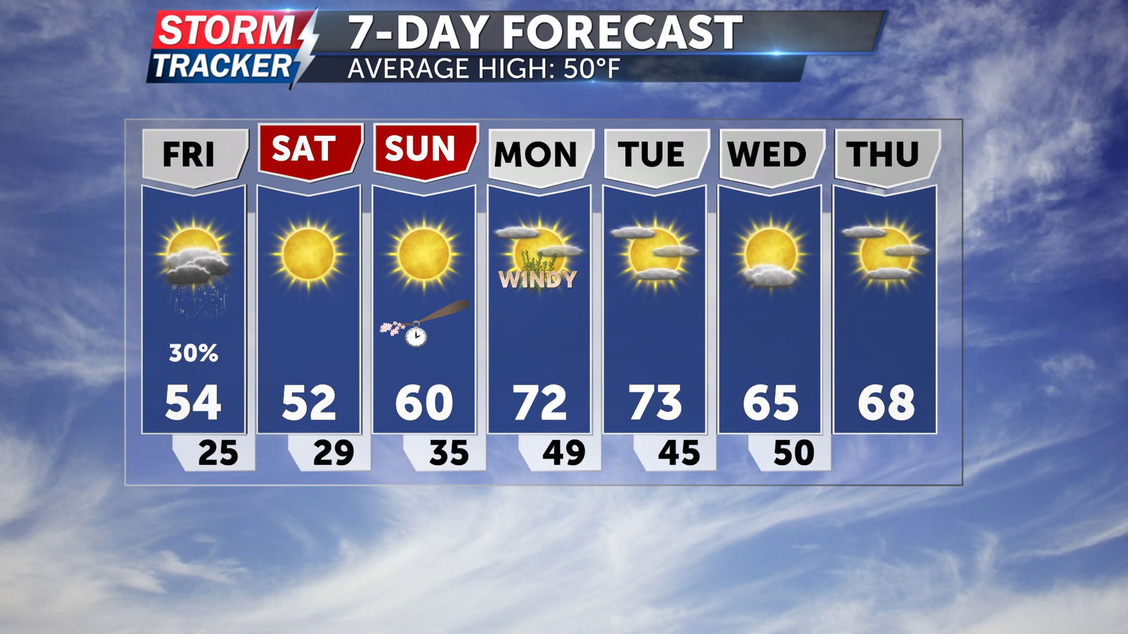
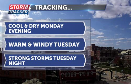
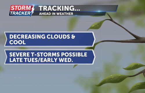
Above average temperatures will build into the start of next week, as highs are forecast to reach the low 70s Monday and Tuesday.