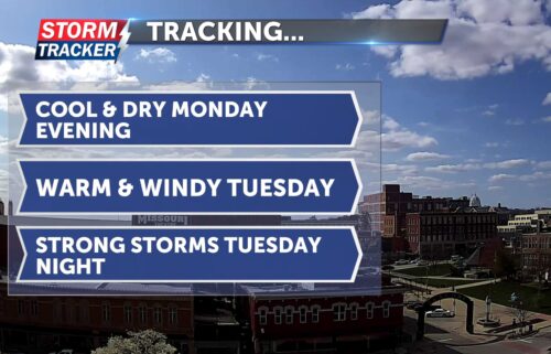
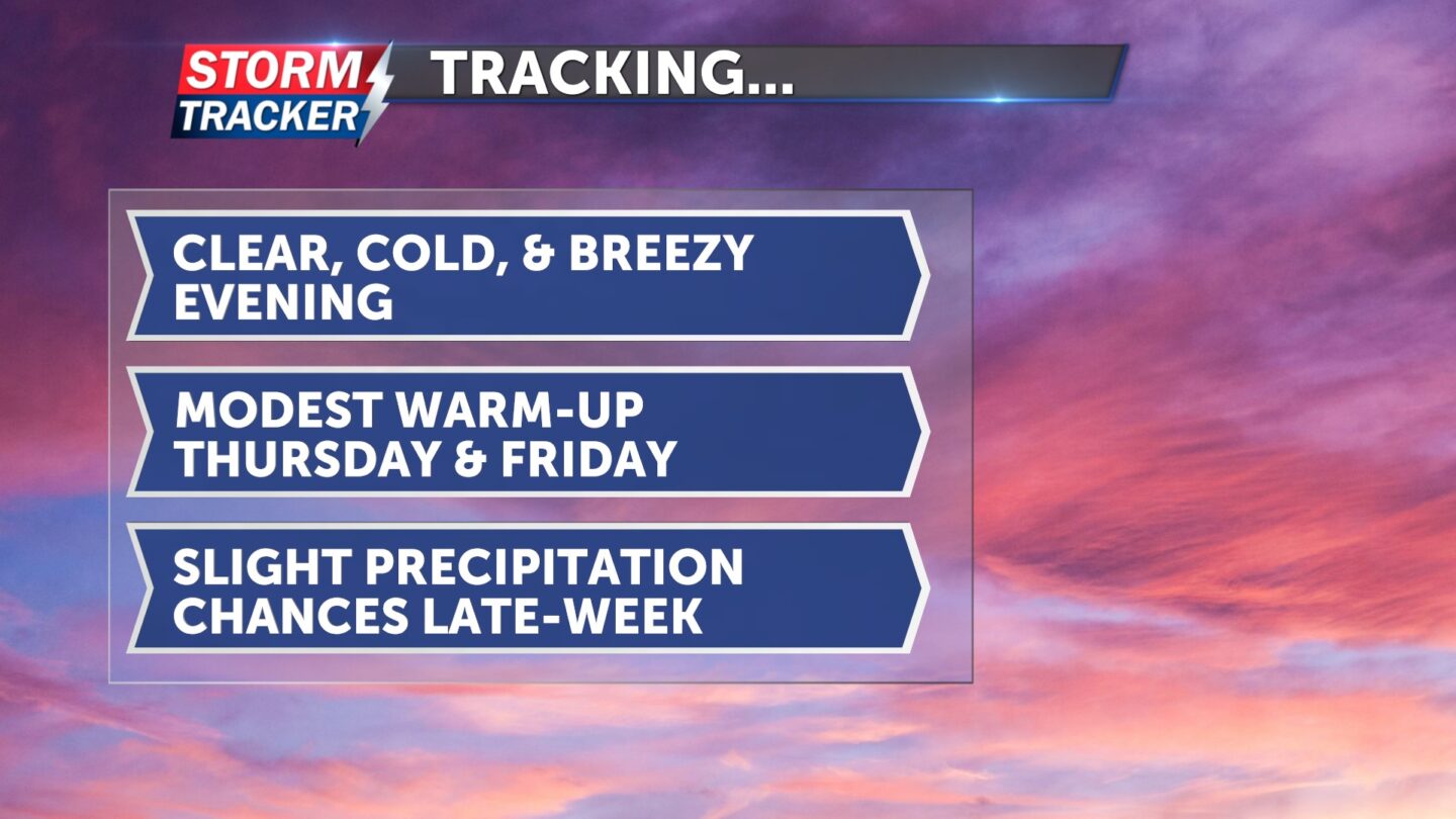
Tracking a cold and dry night
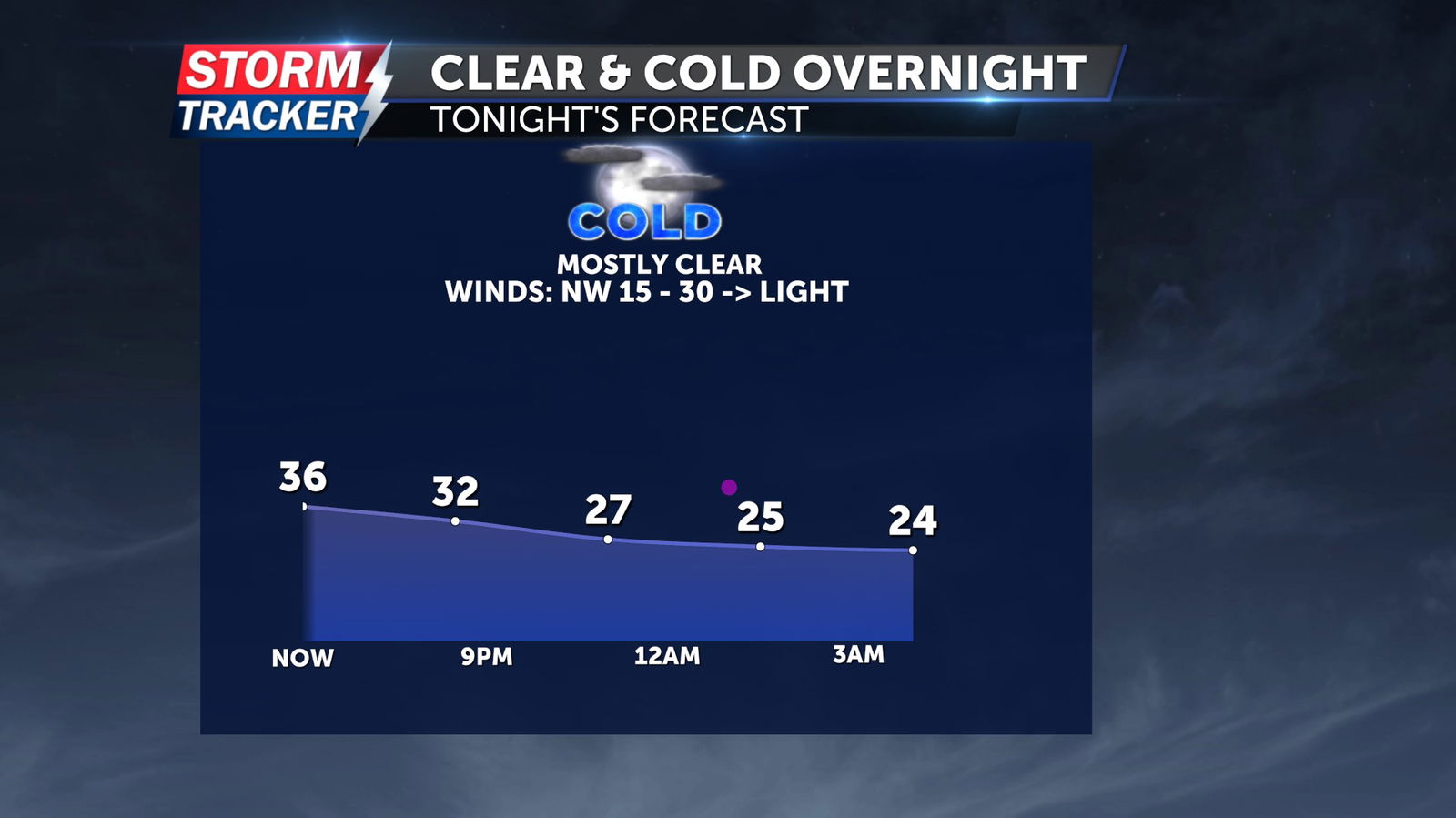
Blowing snow and high winds Wednesday morning have given way to clearing skies through the afternoon, as a powerful storm system exits the area.
Skies will remain mostly clear overnight, with lows dropping into the mid 20s making for a frosty start to Thursday. A gradual warm-up will take place Thursday, with afternoon highs in the mid 40s, light southerly breezes, and increasing clouds.
Chances for light rain and a few wet snowflakes return late Thursday night and into Friday, with no accumulation anticipated as temperatures are forecast to remain mainly above freezing.
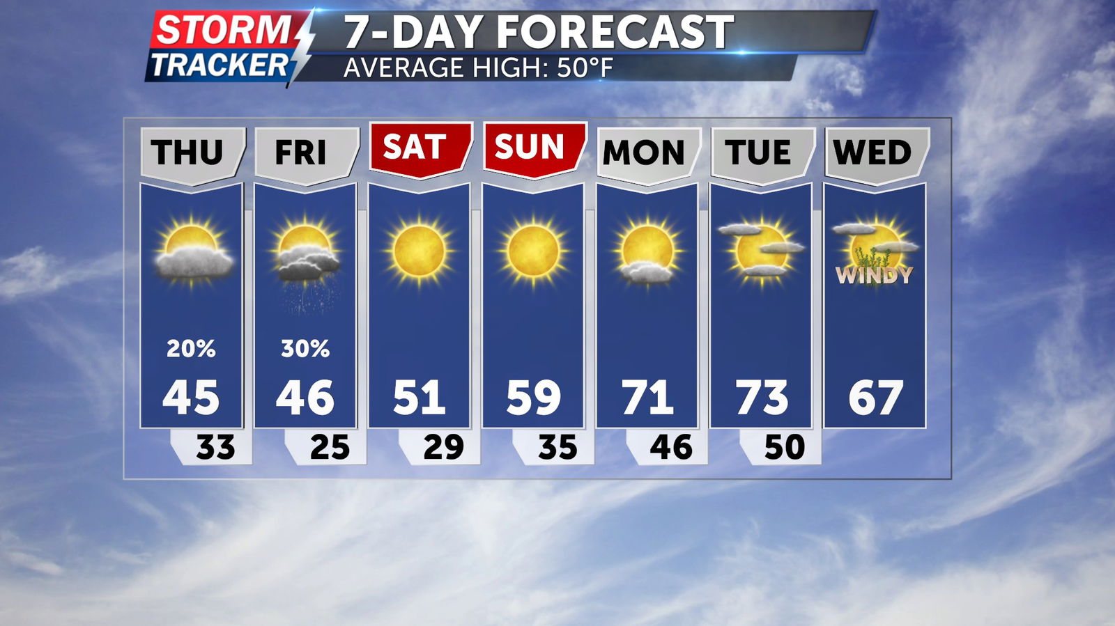
Sunshine and warmer conditions will build in for the weekend, as afternoon highs reach the low 50s by Saturday before approaching the low 60s on Sunday.